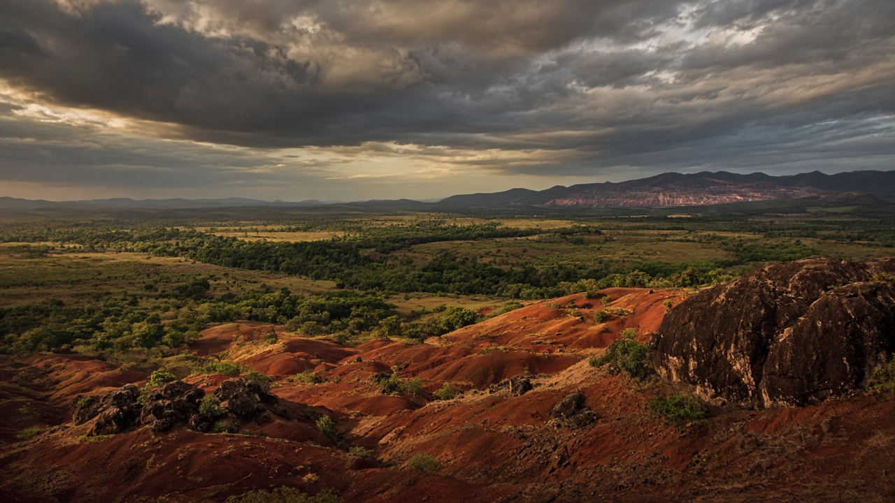
Inside the strategic Arc
El Pilar sits in cartographic Área 3 of the Orinoco Mining Arc’s ~27.7 million-acre (~112,000 km²) ZDEN. Same shield geology that hosts Guayana’s industrial minerals — not a remote greenfield with zero context.
U.S. investor briefing
A 23,500-acre (~95 km²) granite property in Bolívar’s Guayana Shield — inside Arco Minero Área 3, next to Venezuela’s working iron corridor — as Caracas reopens mining to foreign capital.
Investment thesis
Unique opportunity for U.S. capital: location leverage, real industrial neighbors, and a legal window.
El Pilar sits in cartographic Área 3 of the Orinoco Mining Arc’s ~27.7 million-acre (~112,000 km²) ZDEN. Same shield geology that hosts Guayana’s industrial minerals — not a remote greenfield with zero context.
Minutes from the Ciudad Piar iron complex (Cerro Bolívar, San Isidro, Altamira — CVG Ferrominera). Rail, power, and labor already exist for bulk materials — rare for a dimension-stone / industrial-mineral play.
~23,500 acres (~95 km²) outlined in the 2009 MAZ-Invest granite summary. Large contiguous block for quarry sequencing — while gold dominates headlines and capital attention elsewhere in the Arc.
2026 Organic Law on Mines: foreign and private operators eligible; concessions up to 30 years (plus renewals); arbitration allowed. Timing favors teams that diligence early as licenses reopen.
Thesis is granite / industrial stone in an iron district — not speculative REE. Media often oversells rare earths; Área 3’s proven activity is Fe (+ Au belt to the east). Clearer risk/reward for disciplined capital.
Arc capital and politics chase gold. A titled granite block beside state iron infrastructure is a different bet: construction / export stone + optional industrial mineral upside as the corridor modernizes.
Venezuela’s National Assembly advanced mining reform to attract foreign investment. Coverage and statute focus heavily on gold and “strategic minerals” in the Orinoco Mining Arc — not on proven rare-earth production, despite media claims.
Live map
An evidence-based assessment of minerals on and near the El Pilar territory, drawn from 1694 public and academic sources and geologic mapping by the United States Geological Survey (USGS). Download dataset.
Mapped on the territory
The geologic sheet places the material inside the outline.
The whole outline is Imataca migmatite and gneiss, the hard crystalline rock sold as granite for facing stone and crushed stone. A 2009 survey describes about 9,500 hectares, sectors A1–D1, twelve colors, and 3 billion m³ of raw granite.
The same sheet draws iron formation through the northeastern arm and the eastern part of the main block. Cerro Arimagua is 7 km east, and Ferrominera pits — Altamira, San Isidro, Los Barrancos, Las Pilas — are in production within about 35 km. Área 3 names iron as a predominant commodity.
Recorded in the surrounding district
Named occurrences sit inside 50 km, on the same Área 3 ground.
It follows the iron. Cerro Bolívar, about 19 km away, carries manganese with the ore, and El Manteco adds another point inside 50 km.
Área 3 names bauxite with gold and iron. Santa Rita, 28 km north, is mapped as kaolin and clay.
Prospecting data still thin
Named for Área 3, but surveys have not closed these off.
The decree lists gold as a predominant commodity of Área 3. A confirmed mining scar lies 4 km off the boundary, Altamira 2 carries gold with iron at 18 km, and the El Grillero placer is at 28 km.
Placer diamond is mapped in this same neighborhood: El Merey at 25 km and Ciudad Piar at 27 km. The decree’s diamond line is written for Área 1.
The decree names both for Área 1. San Antonio, a sedimentary rare-earth occurrence, is 34 km west. Coltan has no published point within 50 km.
Contact
Leave your details for a follow-up on El Pilar. This is not an offer to sell securities.
Sources